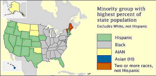
Choropleth Maps are based on predefined aerial units. In the map, it describes each group of data as a ratio value, and use what a graded color series to show least intensity to most intense.
URL: https://courseware.e-education.psu.edu/courses/geog482/graphics/citationexample.jpg

No comments:
Post a Comment